Opened 7 years ago
Closed 7 years ago
#30438 closed Cleanup/optimization (invalid)
GeoDjango .SHP file Specifications.
| Reported by: | Ryan Carl | Owned by: | nobody |
|---|---|---|---|
| Component: | GIS | Version: | dev |
| Severity: | Normal | Keywords: | Shapefile Geom Admin |
| Cc: | Triage Stage: | Unreviewed | |
| Has patch: | no | Needs documentation: | no |
| Needs tests: | no | Patch needs improvement: | no |
| Easy pickings: | no | UI/UX: | no |
Description
When using GeoDjango I seem to run into errors with shapefiles other than the provided World Map TM_WORLD_BORDERS-0.3.
What are the steps to create a shapefile with the propor fields that are needed to get the geom working within the admin? Is there a way to document that in the GeoDjango tutorial?
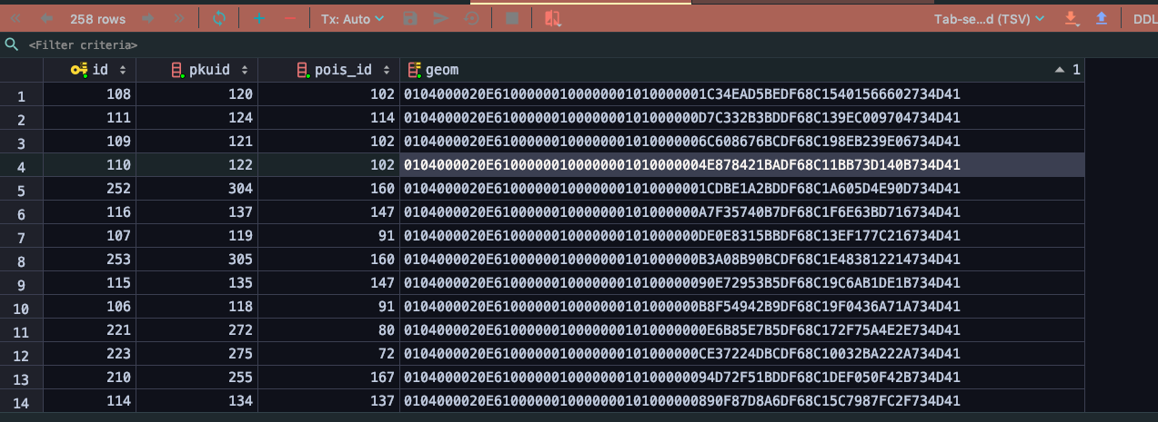
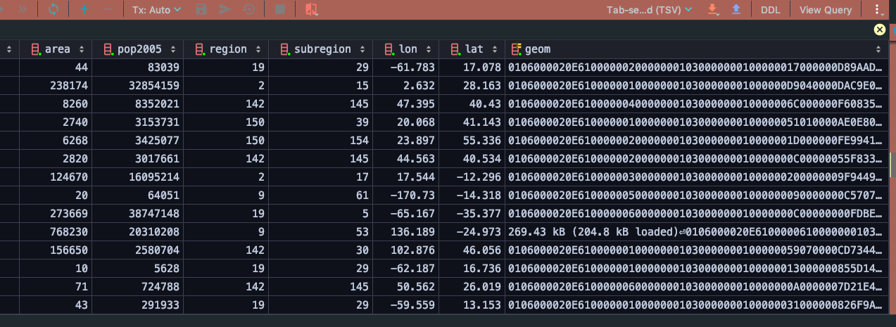
Currently the shapefiles that I have are not being shown in the Admin of GeoDjango after they are uploaded with the Layer Mapping examples provided by the tutorial.
Attachments (2)
Change History (3)
by , 7 years ago
| Attachment: | Screen Shot 2019-05-03 at 11.59.48 AM.png added |
|---|
comment:1 by , 7 years ago
| Resolution: | → invalid |
|---|---|
| Status: | new → closed |
| Summary: | GeoDjango .SHP file Specifications → GeoDjango .SHP file Specifications. |
| Type: | Bug → Cleanup/optimization |
| Version: | 2.2 → master |
I'm not a GIS expert, but wiki page may be outdated (7 years old), I would rather use geodjango-tutorial.
Django is not responsible for ESRI Shapefile geospatial data format. You can always ask on the geodjango mailing list. Closing per TicketClosingReasons/UseSupportChannels.
Not working